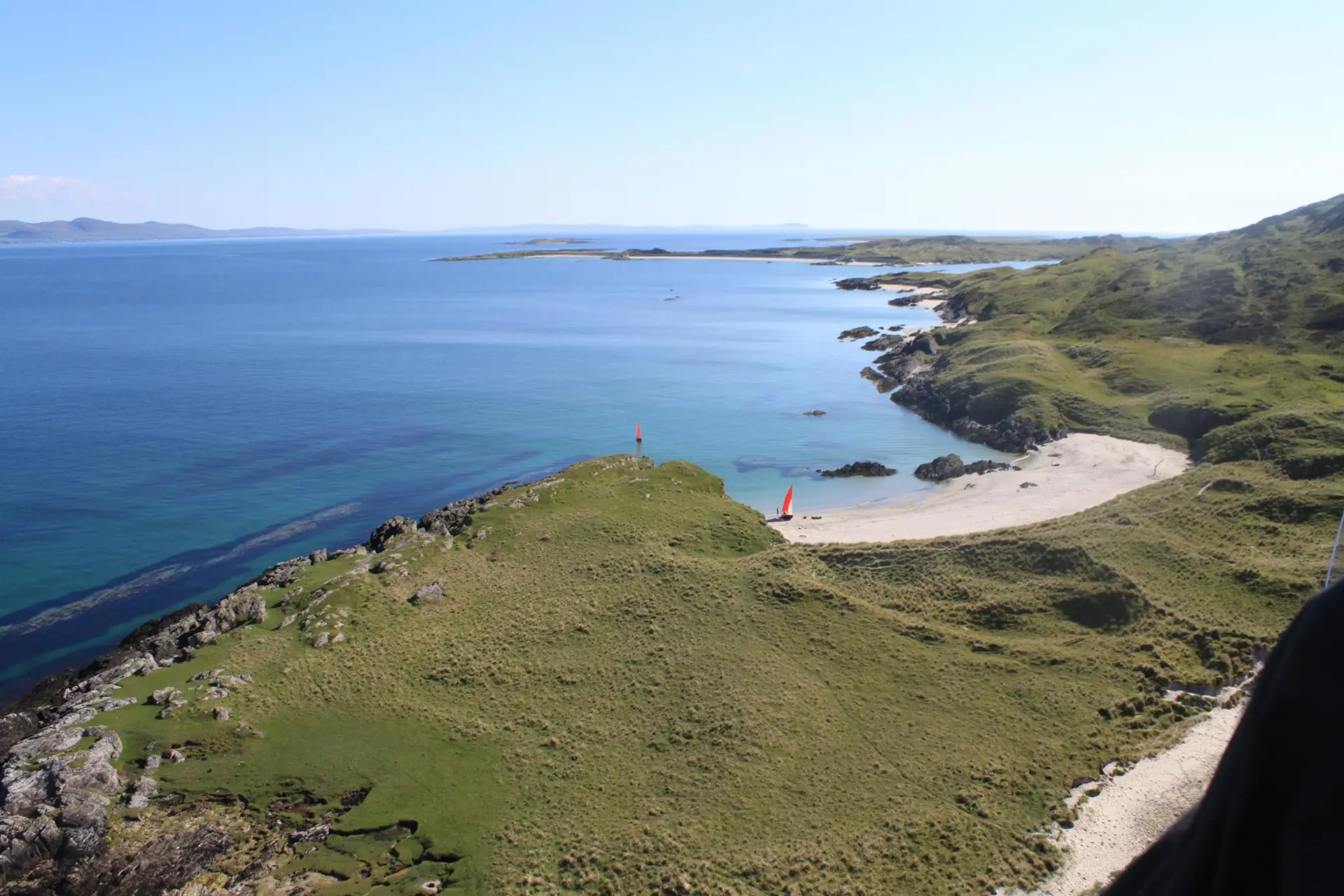
Bag the MacPhies of Colonsay and Oronsay
The 22 MacPhies of Colonsay and Oronsay form one of the most demanding walking challenges on the Isle of Colonsay. The full round covers 21 to 23 miles of rugged, largely pathless ground, with one summit on the tidal island of Oronsay. A MacPhie is defined as a point over 300ft on the islands, and there are 22 of them over rugged terrain.
MacPhie route, summits and safety advice
If you are up for the challenge, the following list might help your pre-planning. This goes from north to south, starting on the sand at Port Easdail and finishing at the Strand (road-end), and assumes you ignore Beinn Orasa (due to nesting birds in spring). If you include Beinn Orasa, you may reverse the route to accommodate tidal constraints. The published route estimates show 2,419 metres of ascent without Beinn Orasa and 2,522 metres with it. Your total will depend on the route you choose. The list is based upon the Ordnance Survey, including the “official” spelling and any local variant, heights (if given) and Grid References.
Be careful: it is a long walk (21 to 23 miles), over rough ground, with no shade; make sure somebody knows your planned route and when to expect you back.
The classic challenge links all 22 summits in one continuous walk, starting and finishing below the high-water mark. There is no fixed starting point, finishing point or order.
The list below runs from north to south and gives summit names, heights and grid references. It is not a step-by-step route description.
1. Bheinn Bheag (A' Bheinn Bheag) 109m NR406986
2. Carnan Eoin (Carn an Eoin) 143m NR409985
3. Bheinn Bhreac (A' Bheinn Bhreac) 122m NR414987
4. Maol Buidhe (A' Mhaol Bhuidhe) 100m NR417983
5. Cnoc Mór Carraig nan Darrach (Cnoc Mór Charraig nan Darach) 92m NR413973
6. Beinn nam Fitheach 105m NR407967
7. No name (Dun Dubh, a' Phairc Gharbh) 104m NR407972
8. Beinn an Sgoltaire (Beinn a' Sgoltaire) 125m NR392975
9. No name (Beinn Uragaig) 120m NR385976
10. Beinn a’ Tuath (A' Bheinn a Tuath) 120m NR381971
11. Beinn Bhreac (A' Bheinn Bhreach) 139m NR375972
12. Mullairidh (Cnoc Mull-araich) 100m NR370965
13. Binnean Riabhach 117m NR364964
14. Carn Mór 134m NR373947
15. Beinn nan Caorach 126m NR366941
16. No name (Cnoc a' Raon a'Bhuilg) 120m NR372942
17. Carn na Cainnle 116m NR381945
18. Beinn nan Gudairean 136m NR388950
19. Carn nam Caorach (Carn nan Caorach) 110m NR392948
20. Cnoc an t-Samhla (Cnoc an t-Samhlaidh) 93m NR383926
21. Beinn Eibhne 98m NR378904
22. Beinn Oronsay (Beinn Orasa) 93m NR351893
There is no fixed start, finish or official speed record. Eric Brown completed the challenge in 6 hours 44 minutes in 1996, while Jethro Lennox recorded 3 hours 56 minutes 44 seconds in 2002. These are recorded examples, not recommended planning times. For a less demanding option, split the MacPhies over several days. Visit Colonsay suggests separate walks covering the northern, western and south-eastern summits, with Beinn Orasa completed when the tide and access conditions are suitable.
Discover the Inner Hebridean islands
Colonsay and its smaller tidal neighbour Oronsay are Inner Hebridean islands connected across the Strand at low tide. If you’re planning a MacPhie-bagging trip, you’ll need to know the tide times, as one MacPhie is located on Oronsay. Oronsay is a working farm and RSPB nature reserve. The Strand is passable for a maximum of two hours either side of low water. Seek local advice before setting out, follow signs, stay on the main track and keep dogs on a short lead or close at heel. Return before the tide comes in.
The islands lie about 15 miles south of Mull, while Islay and Jura lie to their south and east.


